FIRST WARN FORECAST: Big warm up this week, spring storms may impact weekend
This evening is cool with 50s and decreasing clouds. A stray shower is possible east of the metro, but most will remain dry. We will be treated to much warmer 60s and 70s this week, along with a few low chances at rain. We are First Warning you about the weekend, however. Widespread rain and a chance for a few severe storms are possible at times.
TUESDAY: We will continue a gradual climb and temperature into Tuesday with afternoon highs in the lower 70s with a bit more blue skies involved, however, another opportunity for a few isolated showers ranging through our northeastern counties cannot be ruled out.
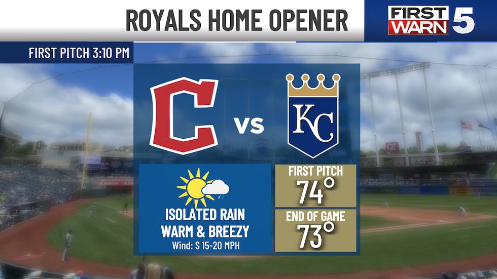
WEDNESDAY: We’ll see a minor drop in temperature on Wednesday, with highs ranging in the middle and upper 60s, but by the time we reach Thursday, the home opener for the Royals, temperatures will soar into the middle 70s.
Once we get into the second half of the week, the weather pattern gets more active. Spotty to scattered rain chances are possible each day through the end of the week. At this time, no day will be a wash out.
THURSDAY: There’s a better disturbance developing Thursday, with several more fronts interacting with the metro clear through the weekend. We will see an increase in wind mainly out of the south on Thursday, with gusts up to 25 mph. More cloud cover is expected, and a few more isolated to scattered showers are likely to occur closer to the metro. At this time, we do not anticipate severe weather, and chances of severe weather are still lacking clear through the weekend. Rain chances remain between 30% and 40% starting Thursday and continuing through the weekend.
WEEKEND: The most likely rain chance is Saturday, with scattered showers and isolated thunderstorms developing from both the northern side of the viewing area and the southern end. We don’t seem to have a direct impact with the storm systems, which leads to a very disorganized scattered to isolated wet weather opportunity. However, if one of the storm systems alters and finds more commitment in moving through the viewing area, we will see a steady increase in wet weather chances along with potential severe weather attributes. Temperatures will remain in the middle and upper 70s to the start of the weekend, but by Sunday, temperatures are anticipated to fall back to seasonable trends featured in the upper 50s and lower 60s
To get the latest weather updates sent to your phone, the KCTV5 Weather app here.
Copyright 2025 KCTV. All rights reserved.


